Sunday, June 5
Time to point the nose west-bound and start
heading back home. Got
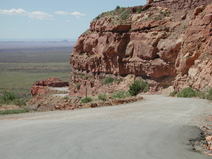
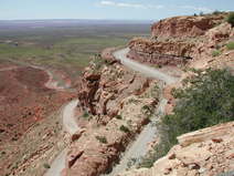
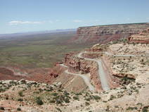
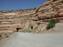
on 261, through Valley of the Gods and straight for the steep fault-line
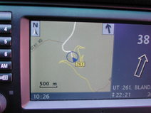
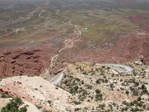
climbing hundreds of meters straight up ahead of us. The navigation map
displayed an interesting pattern which supposedly was the part of the road we
were heading for. The climb was very steep with the road carved into the cliff
in narrow shelves, no rails and gravel in the hair-pins. Maybe this is why they
don’t serve any alcohol around here?
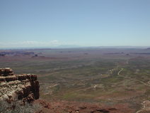
At
the top, close to Muley Point, Valley of the Gods and
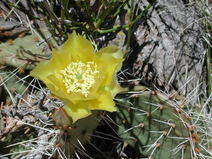
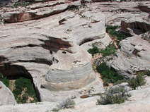
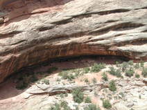
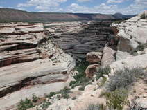
We got to the first natural bridge, Sipapu and walked the short distance to the look-out but
turned down the six mile hike described. Drove a little further, took another
slightly longer walk to check out the Horsecollar
Ruins left by the Anasazi in the 1300’s that could be
seen looking down towards the Canyon floor on the remote side.
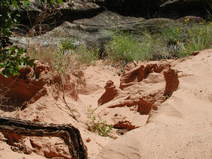
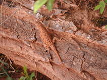
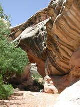
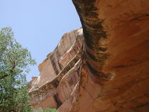 At the second
bridge, the
Once
out of the park, we started a longer drive aiming for Hanksville.
The scenery became less exciting with a mix of forest and rocks of less
fantasy-full coloring and shape and at our
Hanksville, a boring little aggregate of houses and
trailers in a dusty surrounding provided us with both gas and a well-needed
lunch. Apparently another dry spot, not that it mattered as I had no desire to
get drowsy, but rather acquire a little extra energy from the sweetness of a
Coke. Food was good though and we set out for 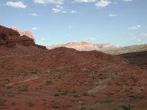
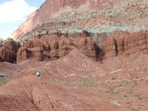
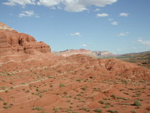
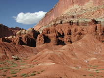
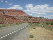
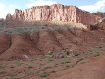
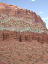
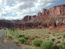 Going west on 24 took us through another little wonder, Capitol Reef National
Park with its bizarre clay-like soft round formations floating out from the
feet of the steep rugged mountain sides. The road was winding softly through
the valleys with a 45mph speed-limit and we took a rest-stop to climb the
rounded rocks only to find out that they were soft like dried clay and buried
zillion’s of crystal’s in aggregates as well as pink little stones at their
base reminding me of cotton-balls.
Somewhere
along the road, maybe in Loa, we took a pit-stop at a little café and I took
the opportunity to inquire with one of the ladies about possible destinations
for night-rest ahead of us. Asking about what to do or see in
So
24 up to cross I-70, get on UT-28 to get over to “our” highway, 50, the
loneliest one in the
Delta
wasn’t too bad of a town. They had a $69 Best Western with pool for the kids
and nice clean rooms that ended up as our choice for the night. I and my wife
set out to the nearby pizza-place/pub/bowling-lanes to get pizza. We chatted
with the female bartender and one of the guest over two pints while waiting for
our 12-incher and learned about some of sight-seeing along our upcoming
50-hike. Bar-total for a pizza and two pints: $6.99!
Us two elderly took a moment to recap some of the trip out by
the too-cold-to-swim-in pool and the chilly, windy night before they closed at
10pm.
| Previous day | Story index | Next day |